


Which West Highland Way map is the best?
Which West Highland Way map is the best? With numerous West Highland maps for sale, which map is the best to help you plan your West Highland Way…
Milngavie to Drymen is the first stage of the West Highland Way. It’s 12.5 miles of easy walking along river side trails, wooded tracks, disused railway trackbeds and country roads as you begin to leave suburbia behind. The Milngavie to Drymen stage for me is a slow starter. The West Highland Way is a journey from lowlands to highlands so don’t expect to be hit with the good stuff straight away. The highlight of this stage is the unmissable Glengoyne Distillery which the trail walks directly past. In my opinion a visit here is a must to make this stage a little more exciting (see details below)
The Drymen to Rowardennanstage takes between 6 – 7 hours of continuous walking (without stops).

Milngavie (pronounced Mull guy) is an unattractive town in the northern suburbs of Glasgow. It’s not a particularly charming destination however it’s perfectly fine to spend the night there before you start the trek. Just don’t expect a picturesque village! Amazingly the town hasn’t even really geared up to cater to the thousands of walkers embarking from its centre each year. We stayed at an Airbnb the night before and had an excellent curry takeaway for dinner – so much that we saved half of it for our lunch the next day. There are a handful of restaurants and a fish & chip shop as well as a fairly large M&S food hall.
The trail from Milngavie to Drymen starts at the official WHW granite obelisk in the town centre and gently unwinds through the outskirts of the town through Mugdock Wood and out into the countryside. In May the bluebells in Mugdock Wood are just beautiful. The trail passes Loch Craigallian with views of Campsie Fells before dropping down to Glengoyne Distillery at the foot of Dumgoyne Hill. You begin to see the lure of the distant hills of the Highlands far on the horizon. The good stuff will come – be patient.


Lunch: After re-joining the trail from the Distillery there are a couple of options for lunch. 15 minutes further from the Distillery the trail goes behind the Oak Tree Pub, a former train station, which has a variety of offerings for the trekker. You’ll see some tiny ponies grazing here. However I’d bypass eating at the Oak Tree Pub and keep on the trail for a further 15 minutes to get to the excellent Turnip the Beet cafe. This cafe is fantastic – they are right on the trail – don’t worry you won’t miss them. Turnip the Beet sells excellent coffee and snacks as well as soup, an amazing array of fresh curries and a best selling dahl and naan dish. They are open from to 9-5 Monday to Saturday and 9-4 on Sundays. They also have an honesty box outside on the trail where you can pay cash or by card. This is hands down the best cafe on the trail – don’t miss it (see photos below).


There’s also a garden centre just 10 or 15 minutes further that does good lunches however its not the easiest to find. You’ll see it on your right as you continue along the trail and then when you’d cross the road if you were following the trail, you need to turn right and walk up the road where you’ll see the entrance to the garden centre.
The trail then goes through over the bridge at Endrick Falls into the tiny hamlet of Gartness with their pretty cottages. Here the disused railway tracks ends and you’ll begin the last section of the trail on the Milngavie to Drymen stretch. Gartness has an honesty shop (photo: below top left) with drinks and ice creams. You’ll see many honesty shops along the West Highland Way route so keep a good amount of change on you whilst you are walking each day.


This last section from Gartness to Drymen is all on road. You’ll pass Duncan Family Farms Glamping Pods and begin to get views of the island and hills of Loch Lomond briefly on a high point before descending into Drymen. On a bridge the WHW route turns to the right. If you are staying overnight in Drymen as oppose to having a longer day continuing onto Balmaha then don’t take this turning but carry on straight on the short distance to Drymen. You’ll find the pretty village of Drymen much more geared up to walkers than Milngavie as the 127m long distance trail, Rob Roy’s Way, starts in Drymen. The Drymen Bakery & Deli sells a great assortment of WHW souvenirs, maps & other useful items.
Which West Highland Way map is the best? With numerous West Highland maps for sale, which map is the best to help you plan your West Highland Way…

Lets look at the West Highland Way distance in a little more detail. The complete West Highland Way distance from the start to the end of the trail…
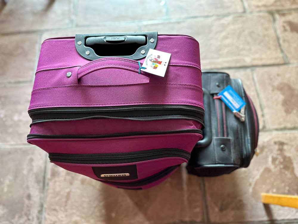
West Highland Way Baggage Transfer If the thought of hiking the West Highland Way weighed down by a heavy pack is a miserable one. Don’t make that a…

You may have heard the rumours of midges in Scotland turning a week of potentially glorious walking into sheer misery. Midges on the West Highland Way are no…
The West Highland Way route in actual fact, compared to other long distance trails, is relatively easy. There is little elevation on the West Highland Way trail and…

Interestingly the best time to do the West Highland Way is not in peak summer! You may or may not have heard of the infamous insect that plagues…